I woke at about 4:00 in the morning to what I thought was wind moving through the nearby trees. Then I heard the sound again. It wasn’t wind.
I lifted my head out of the sleeping bag and held my breath, listening keenly. Off in the treeline, maybe 100 feet away, I heard a branch snap. Then another. I made sure my bear spray and knife were in arm’s reach.
In retrospect it’s amusing how ABSOLUTELY SURE I was that a bear had made off with my un-hung food bag during the night. I was mentally cataloging how many Clif bars were in my backpack to live on, and how I’d be able to boast that I had indeed been attacked by a bear (it was a supply-line attack! It counts!) But as the sun finally rose and I found my food bag undisturbed, I chuckled at my own skittishness. Hitting the trail in search of fresh water, I wondered whether it had even been a bear I’d heard. Then five minutes later…
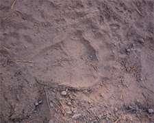
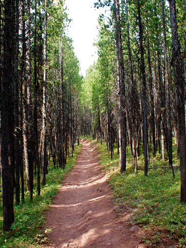
There was bear scat a bit farther down the trail. Yep, so that was my official close encounter with a bear. I started singing or talking to myself as I rounded corners or walked into the wind. Continue reading Day 11: This far, no farther→
I woke up at the trailhead. It was 35 degrees and I couldn’t feel my fingers. I still had food to sort out; I knew I’d overpacked, but didn’t know by how much.
At the picnic table I sorted everything out and filled the waterproof, odor-proof bag with what I thought was five days’ worth of food, tossing out extra bags of couscous and Clif bars. Olive oil, peanut butter, tuna packets? Y’all can stay.
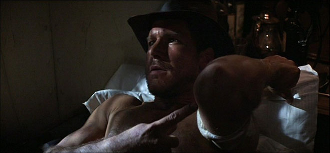
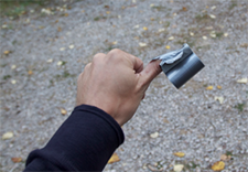
One of my last to-dos: repairing my broken pole strap, with its useful but amusingly vague built-in compass. (“North is, uh, that-a-ways. ish.”) I managed to do this in the process:
Just as I was finalizing everything, I heard the clop of hooves, and marveled as an enormous line of pack mules sauntered past me and onto the trail. It was bad-ass old-school cowboyery in effect.
Final pack weight: 52 pounds. I was hoping for more like 45. But I could still stand upright. With a warm weather forecast, I made one last risky decision and left behind the waterproof REI jacket that I’d paid dearly for.
Monday the 12th was my recuperation day before the hike into the Bob Marshall wilderness. My first stop was the Glacier ranger station, where he checked the conditions of wildfires in the Bob; wouldn’t that be something, to be killed by fires before the bears could get to me? Everything looked good, though.
I was a bit late to work that day. I think it was after 9 AM when I started my car. JB and Sandy, on Mix 94.7, were talking about two planes that had hit two separate towers. I didn’t quite get what they were talking about, but I distinctly remember assuming it was something that had happened in a foreign country. Continue reading This has nothing to do with road trip.→
I was up and on my way at the usual time. I crossed back into Glacier just as the ranger was raising the flag, but only to half-mast, and I had to ask her why she’d done that. Oh yeah, it’s September 11th. I was kinda happy to have lost track of the date like that.
First trail of the day was to Iceberg Lake, a walk in the park (literally!) compared to the Highline from the day before. Good thing; my joints, especially my left knee, were achey. I hobbled along with the help of my poles. It’s 4.9 miles from the trailhead to the lake, just under 10 miles total.
That’s still a ways, mind you. I’m accustomed to distances as far as cars take them. Bear bell jangling, I made my way deep into the northern part of the park—this particular trail had been closed due to “bear frequenting” all the way up until the previous day, and the entire area to my right was still closed off. So I was scanning the area rather keenly.
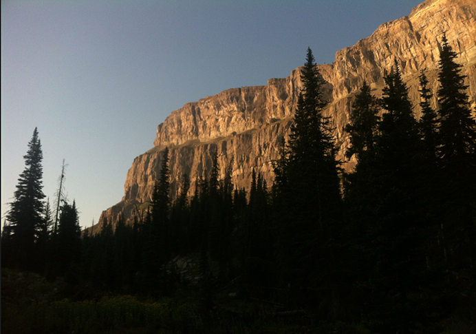
I turned west into a mile-wide “cul-de-sac” formed by incredibly high cliffs. Iceberg Lake was at its base. It came as advertised.
(Author’s note: Back from my backpacking adventure to the Wall. Will take awhile to write that up. In the meantime: backdated entries from Glacier!)
I’m learning to sleep in. 7:20 in this case, though still before sun-up. I drove west, from the campsite back into the heart of Glacier and the Logan Pass Visitor’s Center. I assembled my day-pack, grabbed my poles, and crossed the road to join the Highline Trail.
It’s best to appreciate this trail in Google Earth.
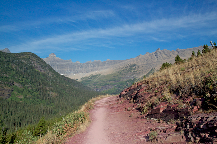
It parallels Going-to-the-Sun Road (yellow), gradually moving up and up and up and up along the ridge known as the Garden Wall. You walk along barren rockslides, cross babbling brooks, at one point navigate a cliff face narrow enough to require a chain handrail bolted into the rock.
After a few miles I reached a giant switchback that took me up and over a saddle next to Haystack Butte. A half-hour later, resting in the shadow of another cliff, I saw Granite Park chalet in the far distance. I’ll get to that in a moment.
(Author’s note: Okay, I’m out of time here. Still have several pre-written blog posts to publish, but you just gotta wait until I get back.)
Just south of and bordering Glacier National Park is a large area that goes by the romantic name “the Bob Marshall Wilderness”—or as it’s known to locals and REI shoppers, “The Bob.” And in the heart of the Bob, comprising part of the Continental Divide, is an enormous rock formation known as the Chinese Wall.
A bunch of you just started humming the Game of Thrones theme. Those who didn’t—uh, you’ll eventually be reading a lot of jokes about “taking the black” and the “White Walkers” that you won’t get at all. Sorry.
The Chinese Wall is my destination for the core of my big road trip. It’s a continuous 22-mile “cliff escarpment” (whatever that is) that rises 1,000 feet above the land to the east. I literally found out about it by turning on the Images part of Google Maps while I was poking around Montana and initially sketching this trip. I decided I wanted to see it in person. And I quickly learned that it’s a 2 1/2-day hike from the nearest parking space, or as far as I can tell, about the most remote location you can find in the lower 48.
I started researching my big backpacking adventure based around a singular goal, to stand at the base of this mammoth wall, and make it back bear-attack-free.
So that’s what I’ll be doing for the next five days.
Tonight—right after I post this, actually—I’m leaving Choteau, this small island of Wi-Fi accessibility, and driving back into the wall of mountains to my west. I park at a place called Benchmark, and first thing tomorrow, hit the trail.
As far as backpacking adventures go, it’s not too awful; I follow a river bed the whole way, giving me access to plenty of water (yes, rivers have WATER in them here), which means I don’t need to carry so much. (Water is heavy, y’all.) The route is relatively flat and low-elevation until the last couple of miles, when it rockets up 1200 feet in about two miles:
And then I’m there.
It may shock you to hear that I’m not posting daily blog entries the whole way. If you want to see what I’m doing in detail, though, I’m basically plagiarizing the route taken by this Montana nature photographer:
Read through Parts 1 and 2, except for the side hike up to Prairie Reef, and that’s basically what I’m doing (then going back the way I came).
I’ve got a bear bell, bear spray, a SPOT personal locator, and I’m leaving a sign with my route in my car. I’ll be fine, y’all. And I’m very excited.
If all goes well (sheesh, don’t worry, it will!) then I’m back to civilization on Sunday, Sept. 18th, limping into the Hilton Garden Inn in Great Falls and passing out.
See y’all then. Don’t burn down Austin while I’m gone. No, really.
It got cold overnight. Very cold. I woke a little later than expected, partly because I’d placed my jacket over my face to keep my nose from freezing and so missed the sunrise. By 8:00 though I was out of the campground and turning onto Going-to-the-Sun Road, pretty much the only road through Glacier National Park. (This was an important thing to plan for: sometimes Going-to-the-Sun Road is closed, which means you have a 200-mile detour just to get from one side of the park to the other.)
No such trouble this time (well, sort of). The road wound around the southern edge of Lake McDonald, then gradually started to climb into the mountains that loomed like a fortress to my east. Many, many times I’d see a view off the edge of the road and involuntarily mutter “Wow” to myself.
The mountains grew impossibly high around me—and as I got higher myself, the drop-offs below me grew impossibly deep. Not for the first time, it blew my mind that a team of engineers with balls of steel had hiked along these wild ridges and worked out the exact route that a road like this had to take. And then built it.
(Sorry I’m way behind here. Wi-Fi spots in Montana are like Dr Pepper in New York City—hard to find, and incredibly delicious when you come across them.)
I woke in the Murray Hotel at the leisurely hour of 8:00, and woulda done even better if I hadn’t forgotten to close the window blinds the night before. Stupid sunlight. Enjoying the feeling of an actual bed for a couple of minutes more, I finally carted my things down to the car, turned in my room keys (they were actual keys!), and left Livingston behind.
Westward through still more beautiful country I drove. By now I’d trained myself not to pull over the car for every incredible vista, lest I be stopping every five minutes for the entire day. The weather was still fantastic, but the wildfire smoke—from fires currently burning in Oregon—was not. It made the vistas hazy, and made me selfishly annoyed that I hadn’t avoided the wildfire mania plaguing my buddies back in 512.
Somewhere outside of Livingston, my trip odometer passed 2,000 miles.